Cincinnati Subway in Bond Hill & Norwood
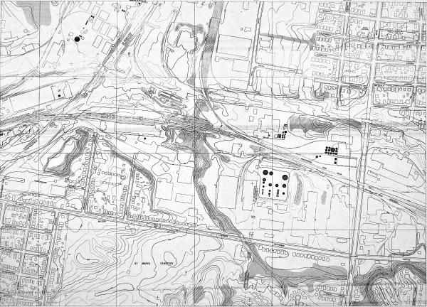
1948 USGS map showing the at-grade subway route in St. Bernard and Bond Hill
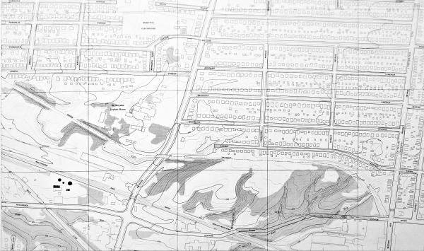
1948 USGS map showing the at-grade subway route in Bond Hill
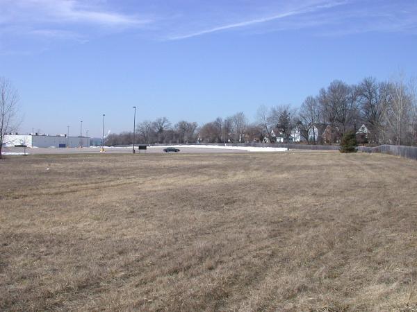
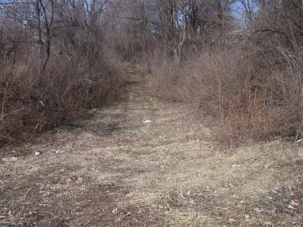
Subway right-of-way behind Showcase Cinemas in Bond Hill
Subway right-of-way behind Showcase Cinemas in Bond Hill
Subway right-of-way behind Showcase Cinemas in Bond Hill
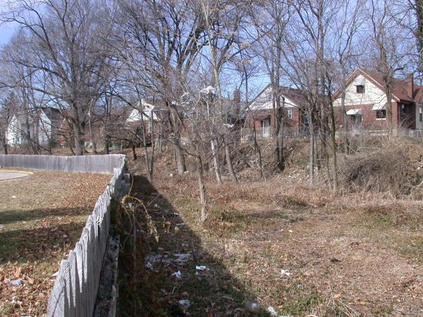
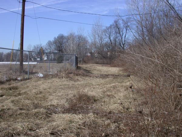
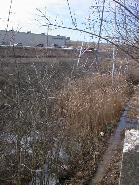
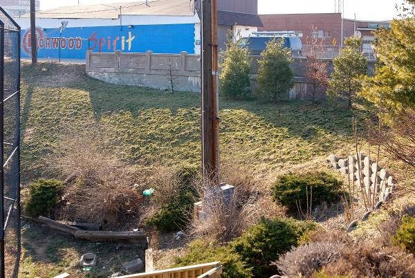
Subway right-of-way along the east edge of the Showcase Cinemas property in Bond Hill
Subway right-of-way along the east edge of the Showcase Cinemas property in Bond Hill
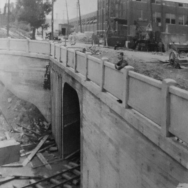
Historic photo of the subway tunnel under Section Avenue at the north Ross Avenue portal
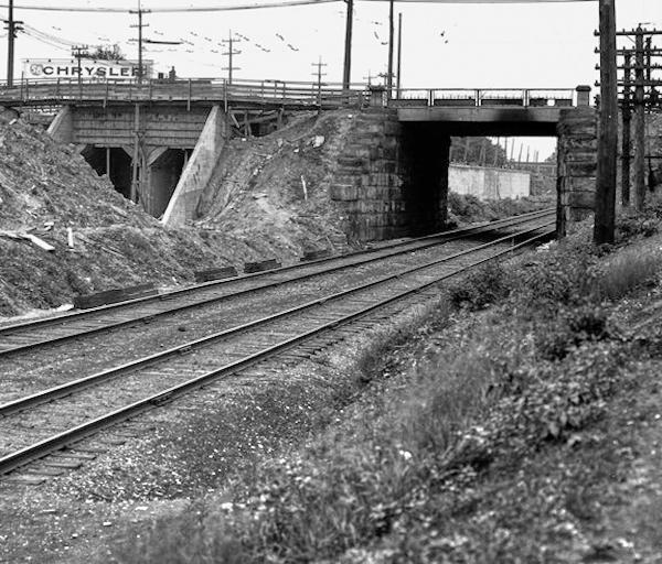
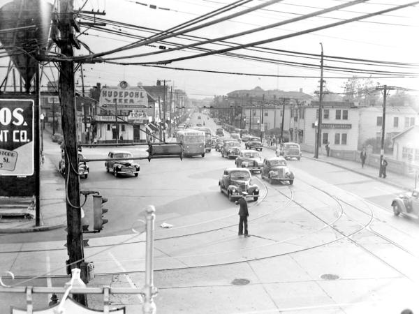
Historic photo of the rapid transit and B&O Midland underpasses at Montgomery Road in Norwood
Historic Photo of the center of Norwood at Smith and Montgomery Road
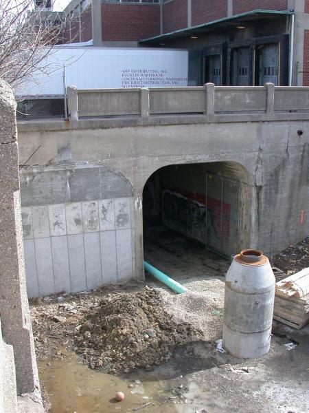
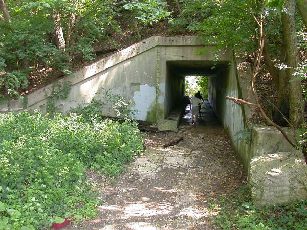
Approach to the west portal of the Forest/Zumbiel tunnel for the subway in Norwood
Approach to the west portal of the Forest/Zumbiel tunnel for the subway in Norwood
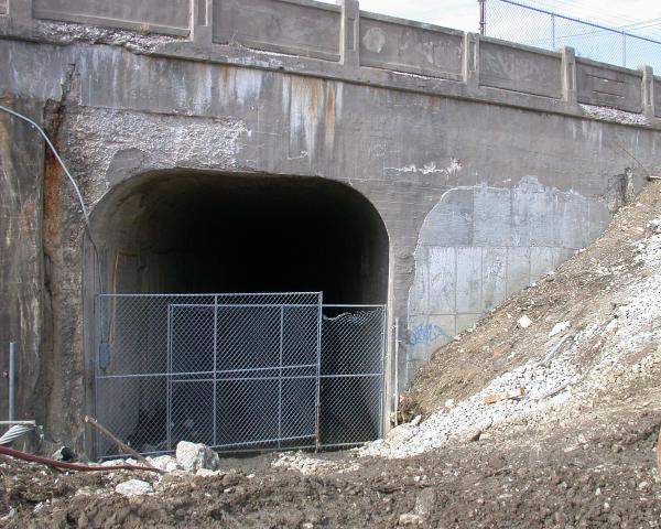
West portal of the Forest/Zumbiel tunnel for the subway in Norwood
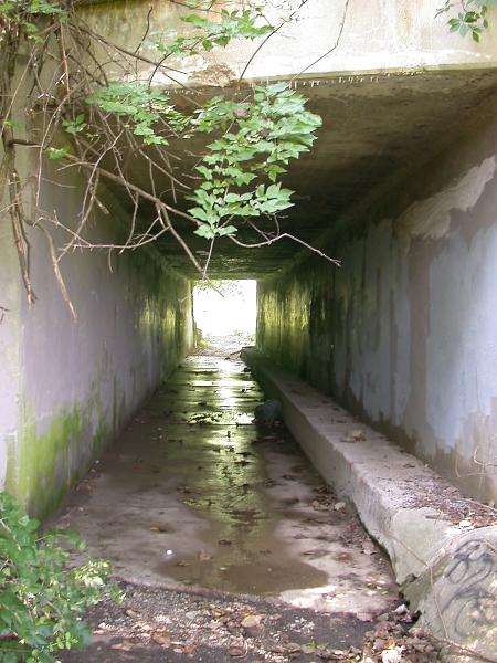
A more recent photo of the west portal of the Forest/Zumbiel tunnel for the subway in Norwood
East portal of the Forest/Zumbiel tunnel for the subway in Norwood
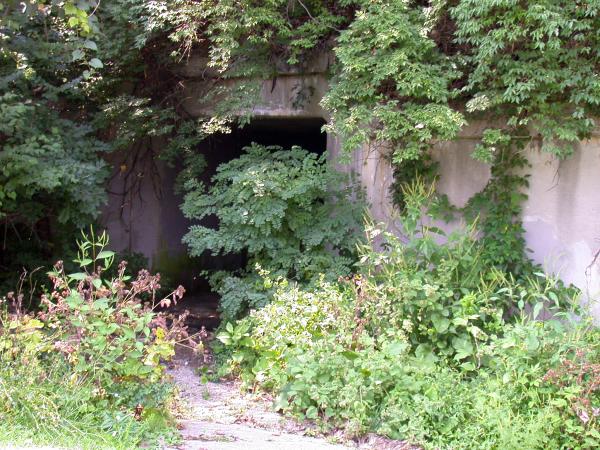
A more recent view of the east portal of the Forest/Zumbiel subway tunnel in Norwood's Waterworks Park
A mystery tunnel under the old PRR connection to the B&O line on the east side of Norwood's Waterworks Park
Close up of the mystery tunnel under the old PRR connection to the B&O line on the east side of Norwood's Waterworks Park
East portal of the mystery tunnel under the old PRR connection to the B&O line on the east side of Norwood's Waterworks Park
Generated by
jAlbum 23
,
Jupiter 9