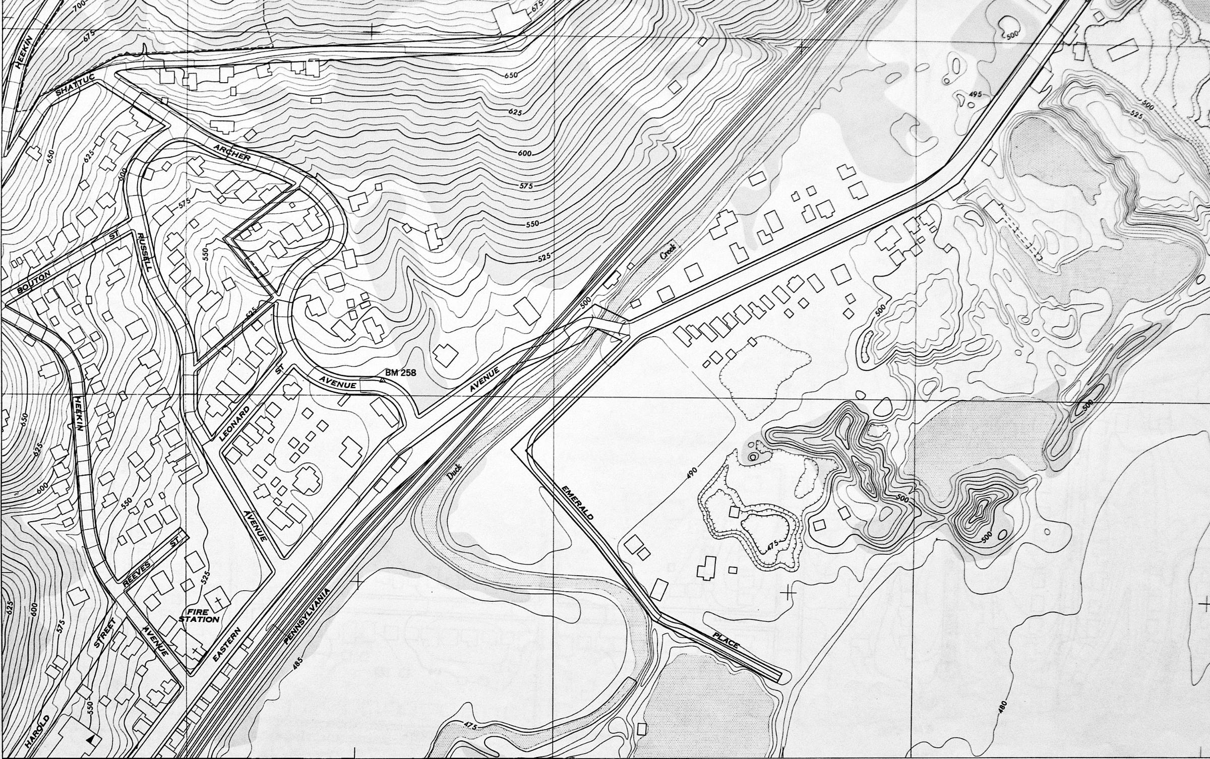
1951 USGS map showing Eastern Avenue at Duck Creek in Linwood. Prior to 1962, Eastern Avenue crossed the Pennsylvania Railroad and Duck Creek to become Wooster Pike here. When Columbia Parkway was extended along the hillside, this railroad crossing and river bridge was removed, and Wooster Pike was extended to the current loop ramps at Beechmont. The s-curve in Duck Creek was straightened out so the new section of road wouldn't need to cross it. Although Emerald Place does exist today, but its alignment has been changed from what's shown here.