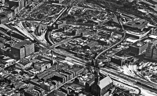
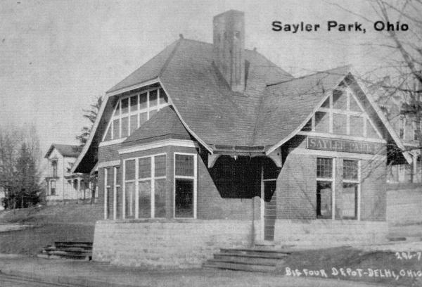
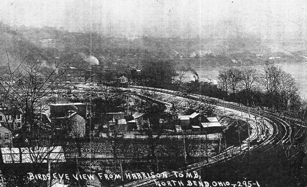
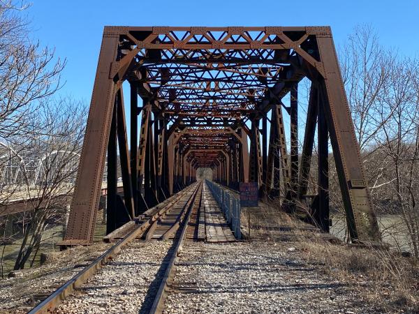
NYC/CCC&St. L - New York Central/Big Four, CIND Subdivision - Indiana & Ohio, CIND Subdivision
Former Indianapolis & Cincinnati/CCC & St. L (Big Four)/New York Central to Indiana
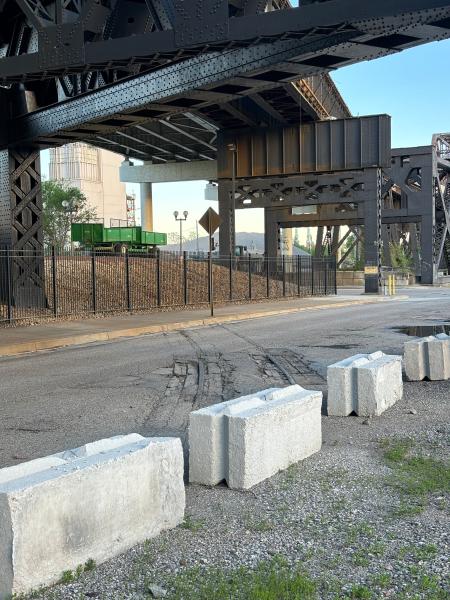
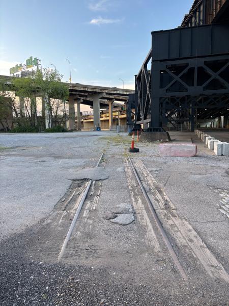
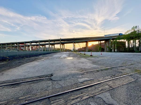
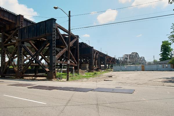
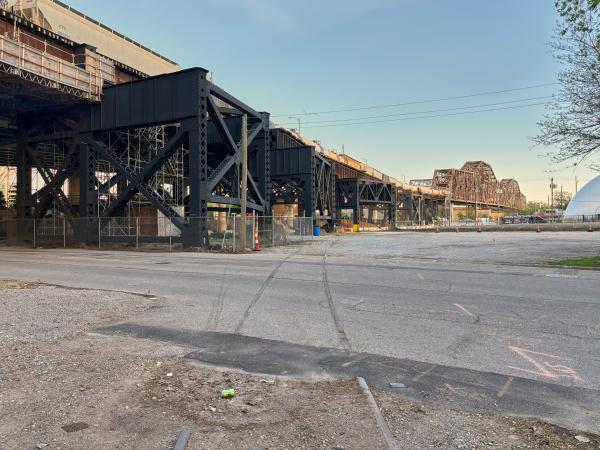
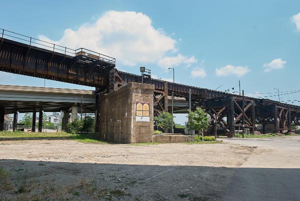
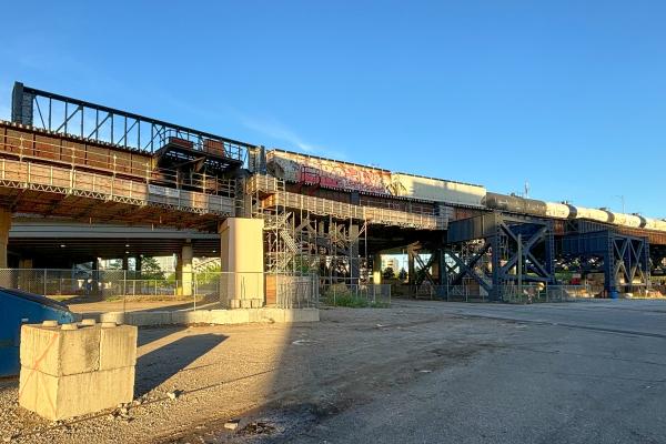
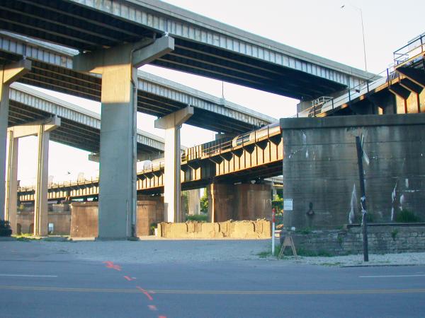
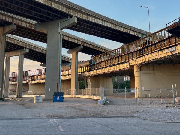
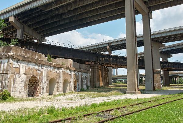
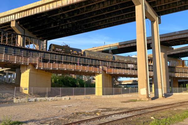
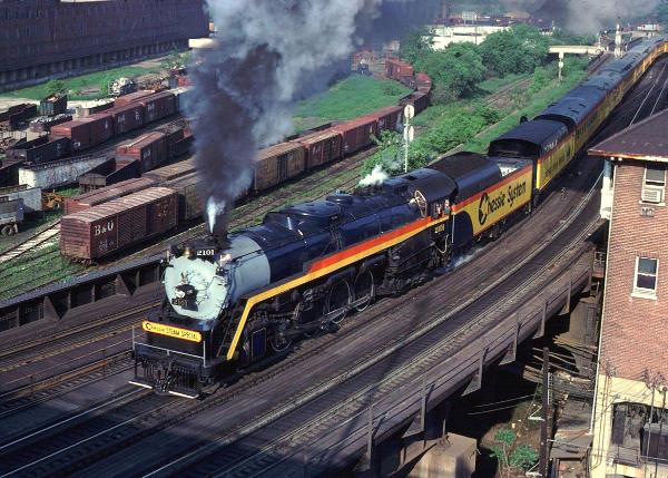
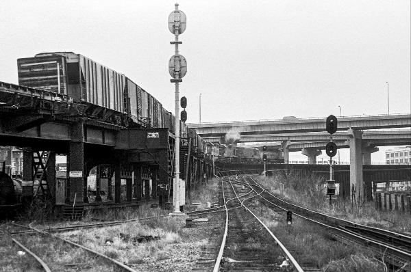
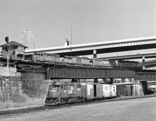
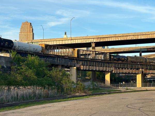
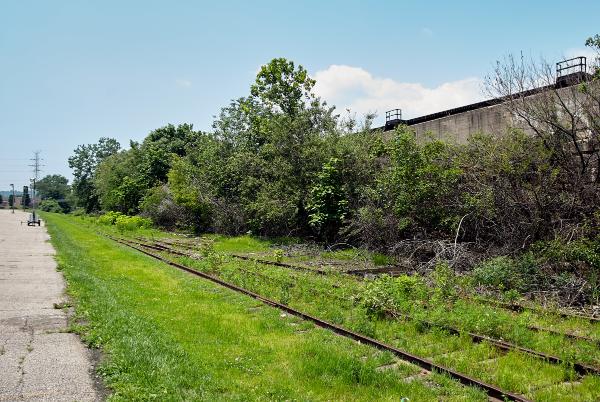
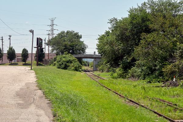
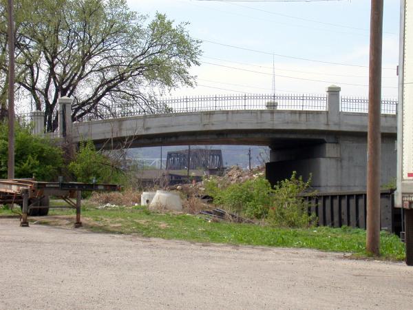
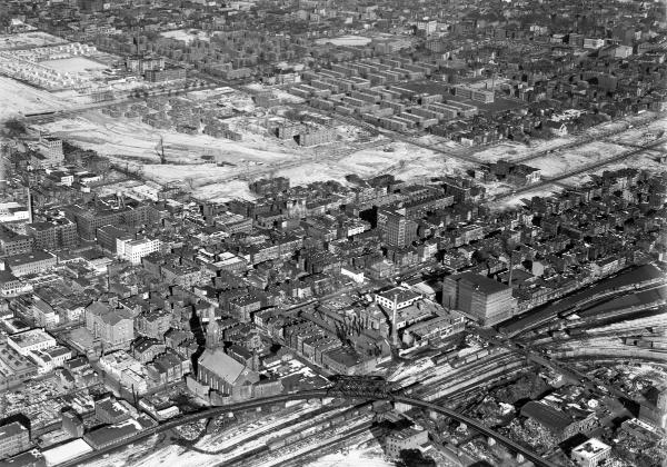
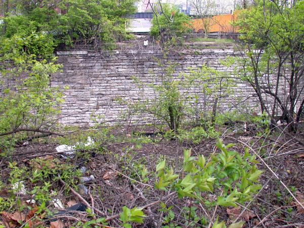
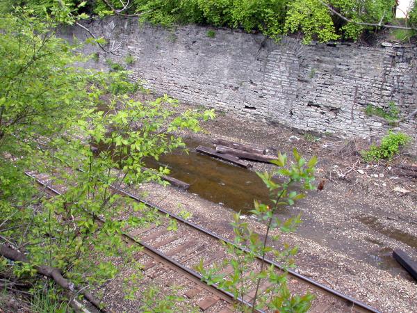
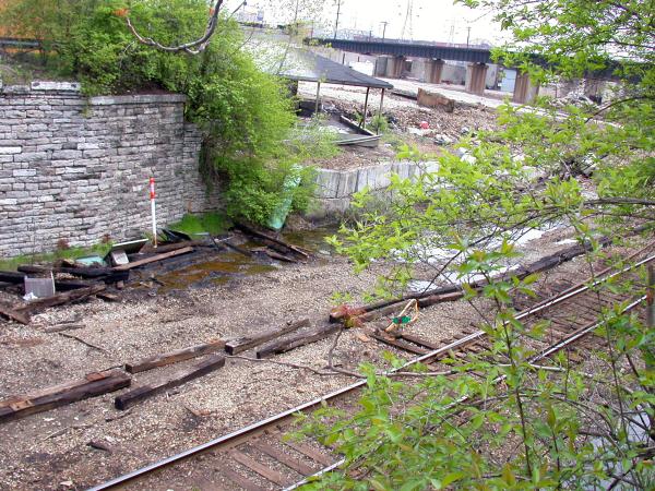
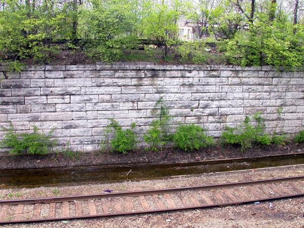
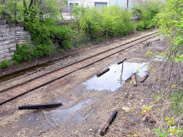
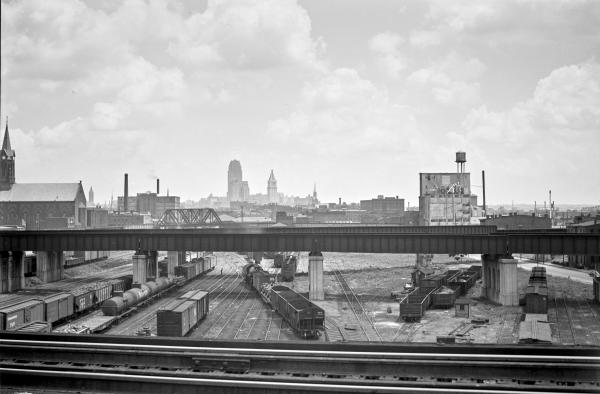
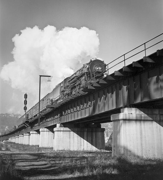
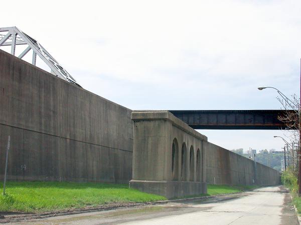
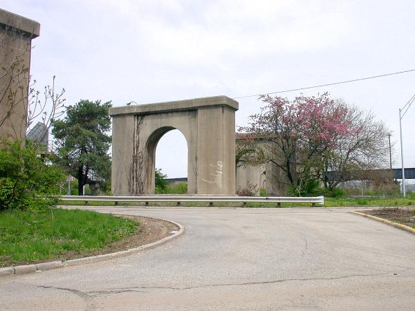
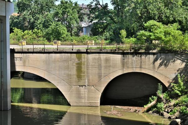
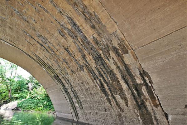
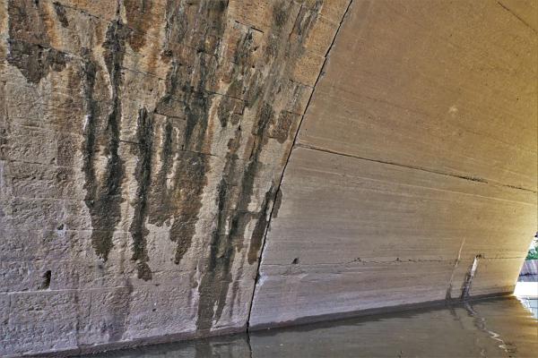
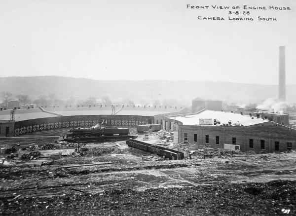
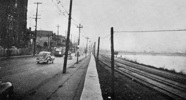
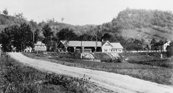
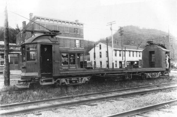
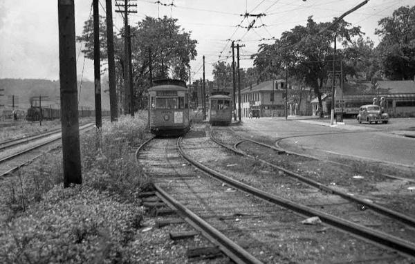
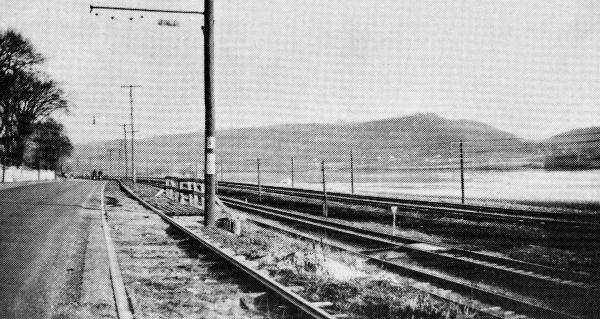
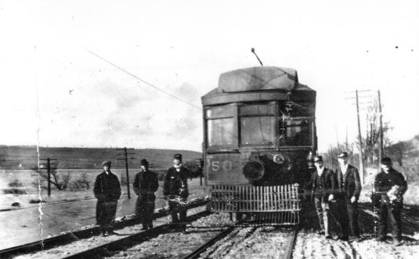
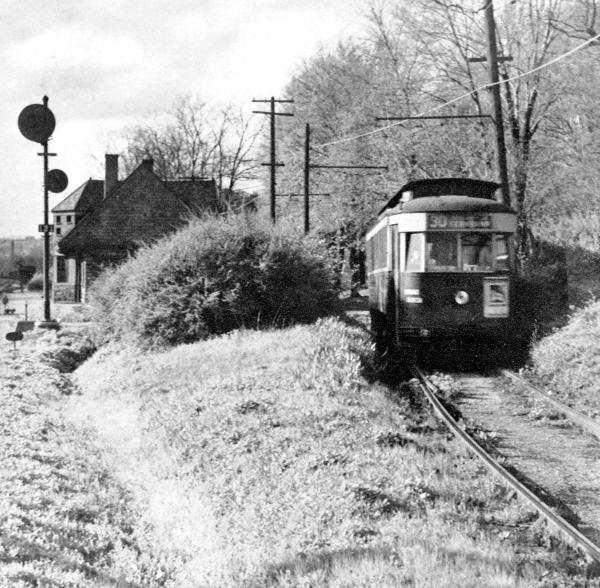
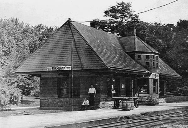
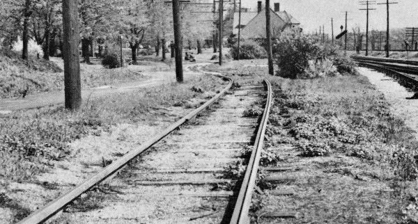
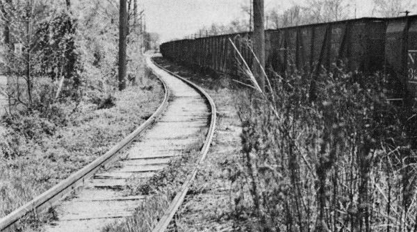
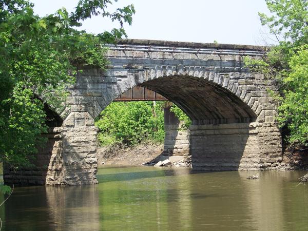
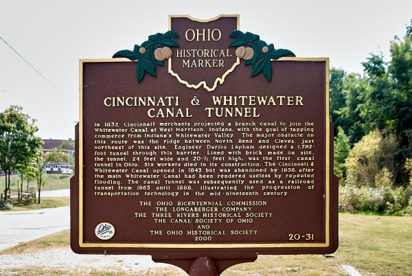
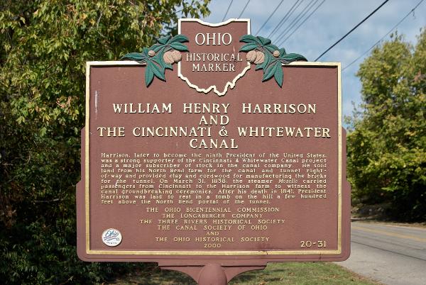
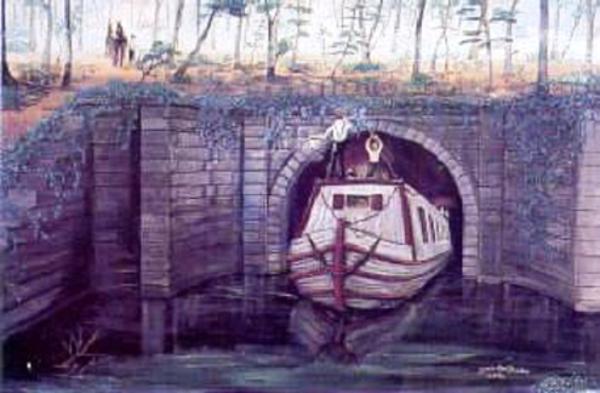
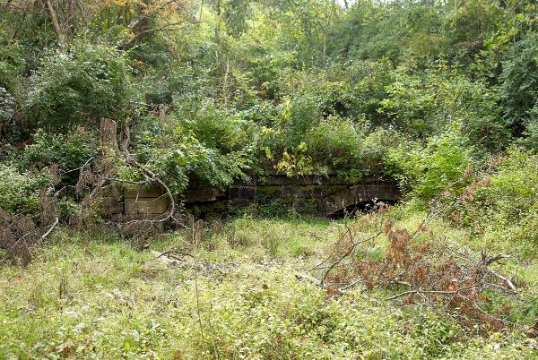
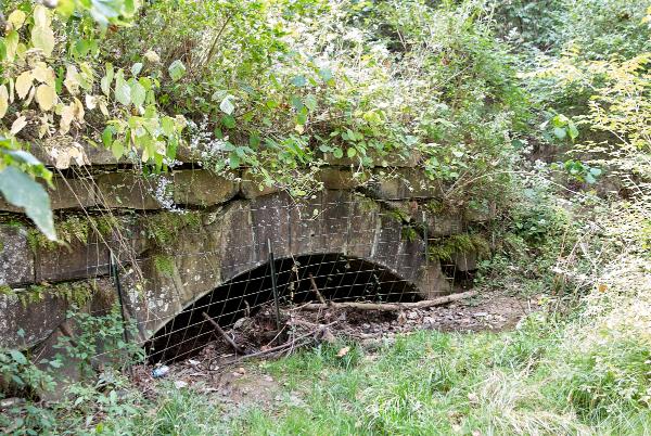
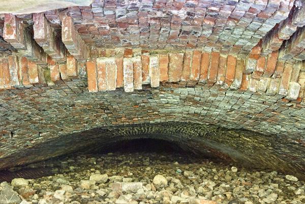
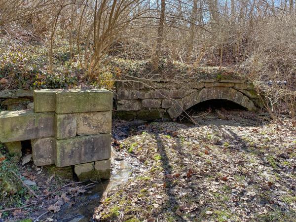
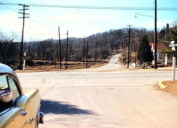
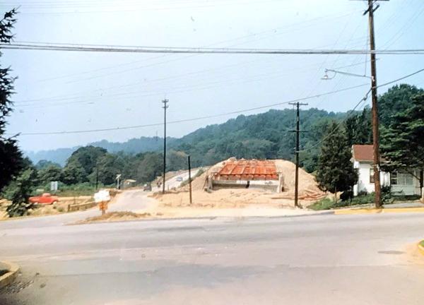
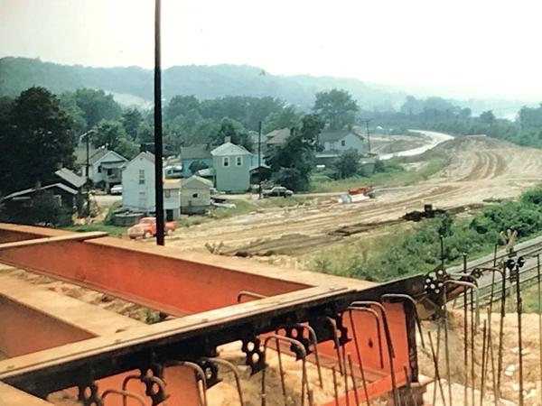
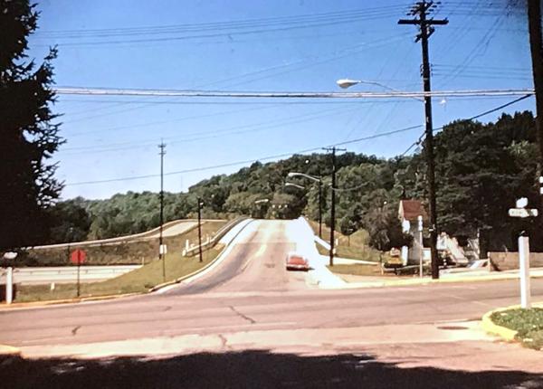
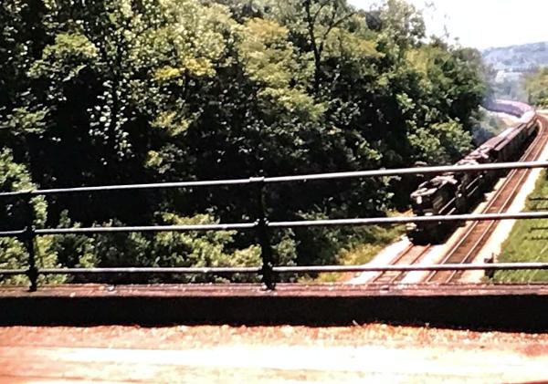
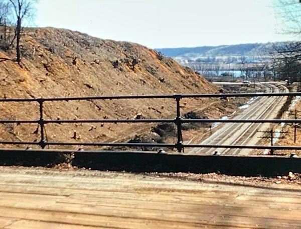
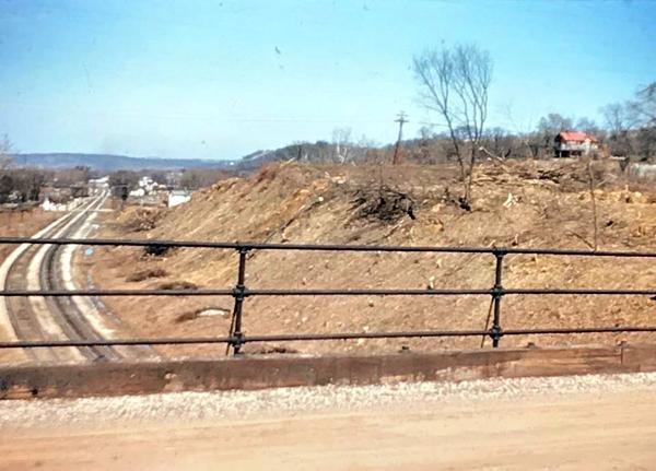
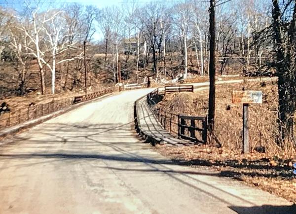
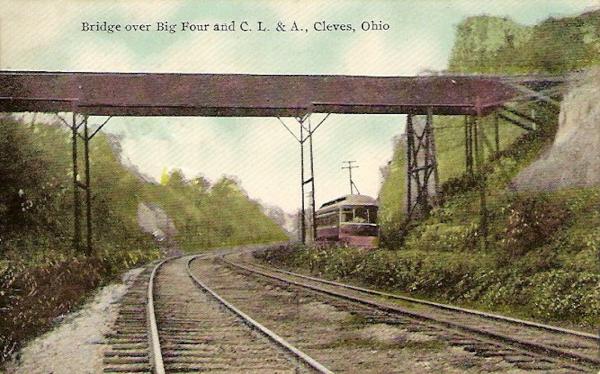
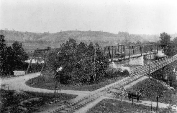
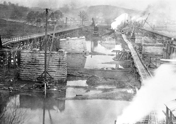
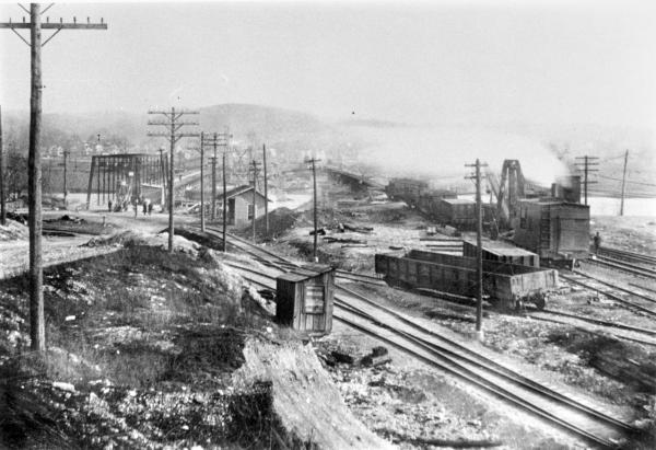
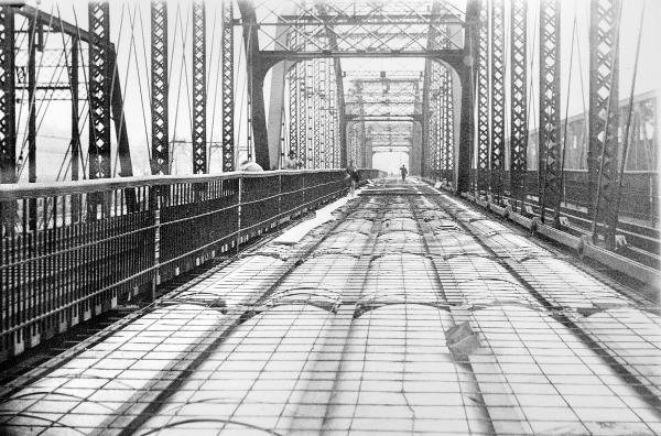
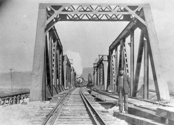
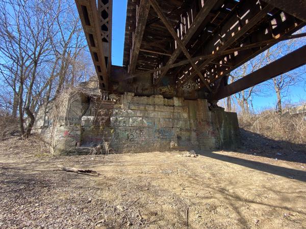
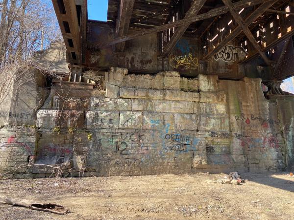
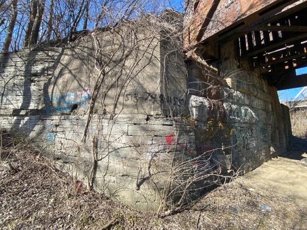
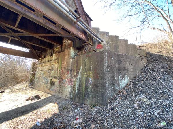
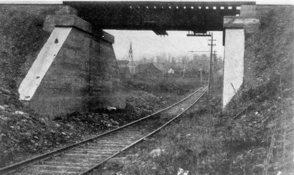
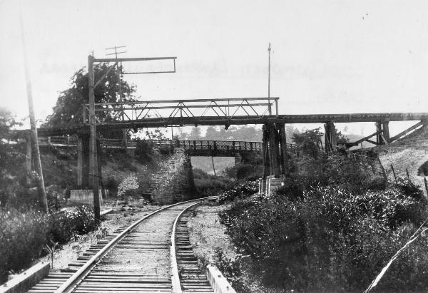
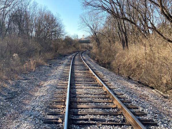
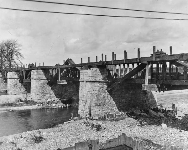
Photographs from Downtown Cincinnati to Lawrenceburg
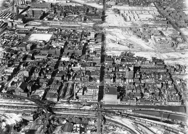
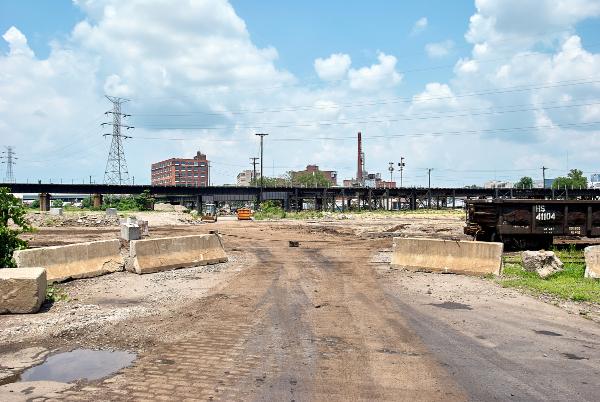
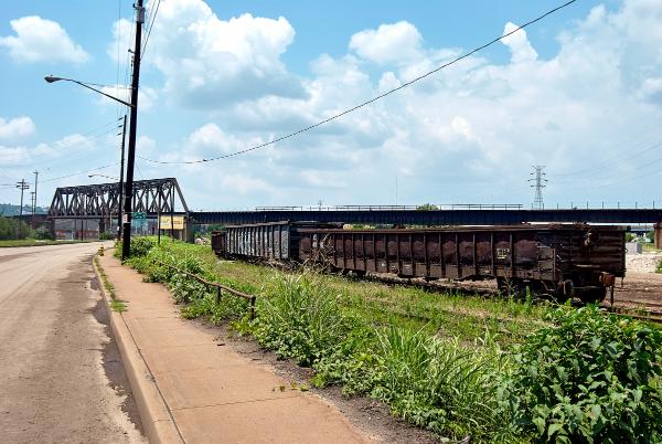
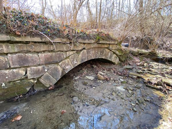
Photographs from Downtown Cincinnati to Lawrenceburg