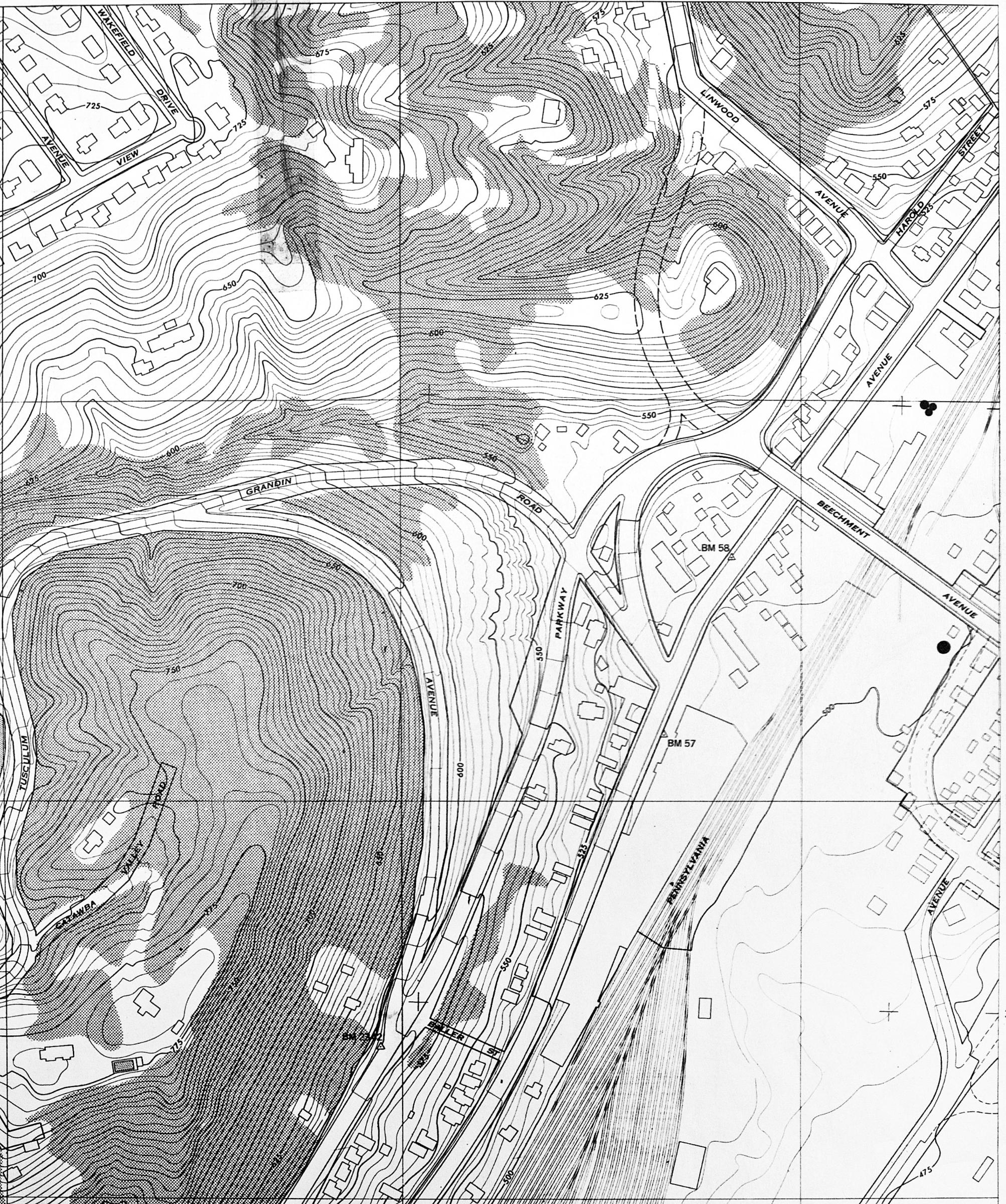
1951 USGS map showing the Columbia Parkway and Beechmont Avenue intersection in Linwood. Prior to 1962, Columbia Parkway turned directly onto Beechmont as shown. Anyone wanting to go to Fairfax or Mariemont would need to turn left on current-day Church Place (not labeled), right on Linwood, then left on Eastern Avenue. Eastern became Wooster Pike after crossing the Pennsylvania Railroad and Duck Creek, shown in the next photo.